FOUNDING OF THE VILLAGE
KHOI-KHOIN PERIOD
The first people who passed through the McGregor valley were two Khoi-khoin clans: the Ubiqua clan of the present-day Tulbagh area, and the Chainoqua clan (Soeswas) from south of the Riviersonderend Mountains. The clans were pastoralists who migrated in and out of the Breede River Valley for grazing and water.
We can only guess at the beginnings of the interface between the first people and early farmers, imagine the impact on the hunter-gatherers as they watched from a distance, seeing people on horseback, in wagons, and hearing gun shots.
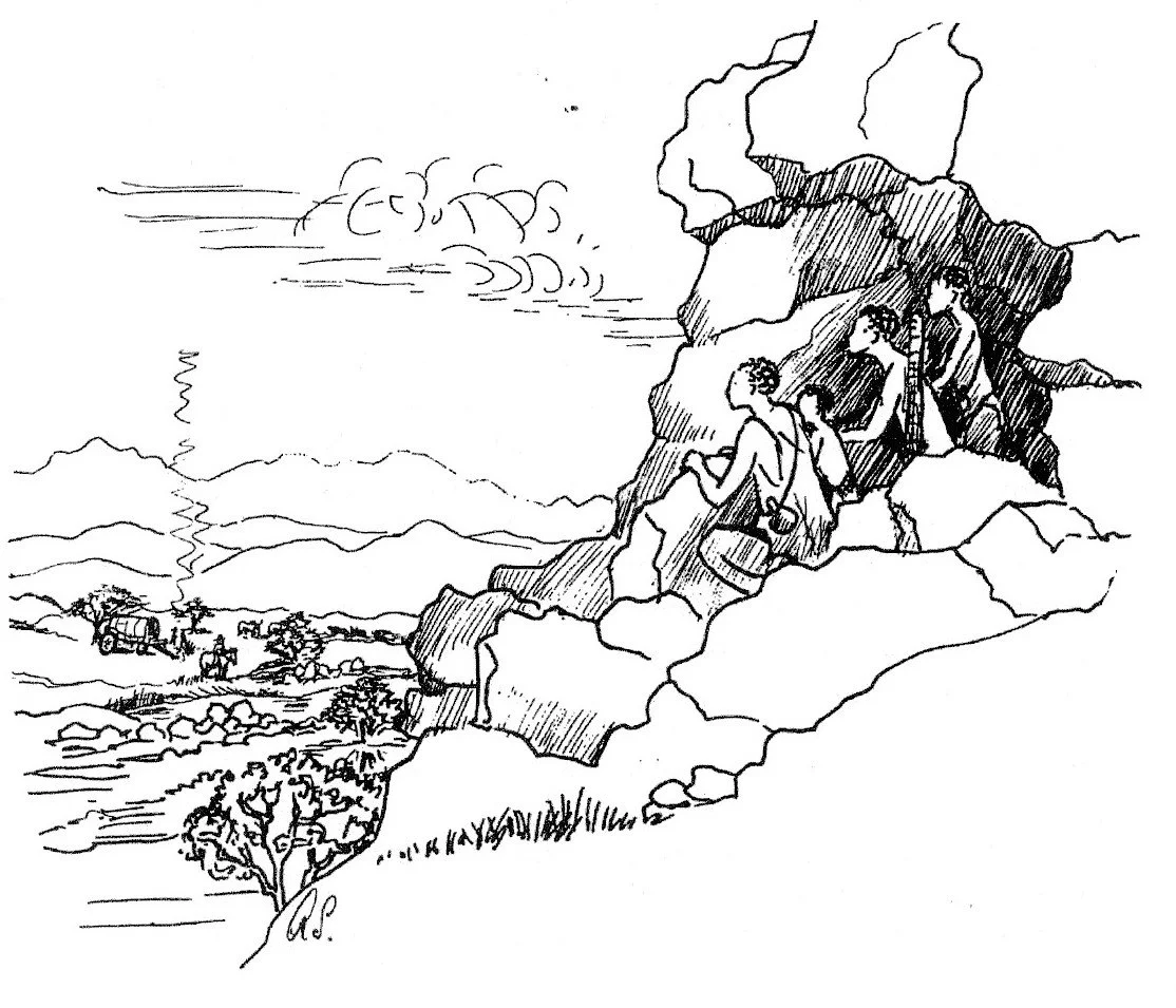
The Chainoqua migrations gave rise to the name of the local mountain trail – Boesmanskloof. Stone artefacts from early, middle and late stone-age periods that were discovered in what is now the Krans Nature Reserve in McGregor date to these migrations.
The Khoi-khoin made their traditional homes from rushes and reeds. Called a /haru-oms or matjieshuis, it is the only portable shelter design in Africa, which suited a nomadic lifestyle and became a symbol of Khoi-khoin identity. It could be dismantled within an hour, transported on the back of an ox and rebuilt quickly at the new !Aras or kraal (village). The /haru-oms was cool in summer and allowed the air to circulate. In rainy weather the reeds absorbed water and swelled up, which prevented leaks. The aerodynamics of the rounded shape stood well against strong winds, and during winter it was lined with soft, tanned cattle hides for insulation and warmth.
These first people in the McGregor area lived in sync with the land, in harmony with the seasons and migrated according to this life cycle. They were a people of community.
DUTCH COLONIAL PERIOD : 1666 – 1795 OVER-DEN-BERG
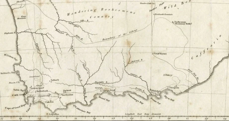
In response to an ever-increasing demand for fresh produce at the Cape, the Verenigde Oost-Indische Compagnie (the VOC, or the Dutch East India Company) encouraged farmers to migrate north from areas like Franschhoek and the southern coastal plains, and to establish farms Over-den-berg (Over the mountain) in an area known as the Middle Bosjesveld. The climate and fertility of the area attracted settlers and from the late 1700s Free Burghers were granted leaseholds on farms.
In 1737 the earliest mission station in the Cape was established in Baviaanskloof, now known as Genadendal, which at one point was the second largest town in the Cape Colony. From Genadendal people followed the Boesmankloof trail over den berg (over the mountain) and settled in the Breede River Valley.
At this time the VOC controlled the market for agricultural products and set the prices that farmers were paid. A deal with the VOC allowed farmers to settle in the Breede River Valley in exchange for paying the Company a third of their new-born livestock every three years as ‘rent’.
ENGLISH COLONIAL PERIOD : 1795 - 1910
Formal allocation of farms in the McGregor area took place under British occupation and colonization. By 1819, the farm called Over-den-Berg on the banks of the Houtbaai River was under grant to Burgher Johnathan Willem Groenewald, while Jacobus Stephanus du Plessis and Hercules Viljoen owned the neighbouring farm, Vrolikheid. By 1821 Over-den-Berg had been sold to the Smit brothers, Alewyn Petrus and Johannes Jacobus.
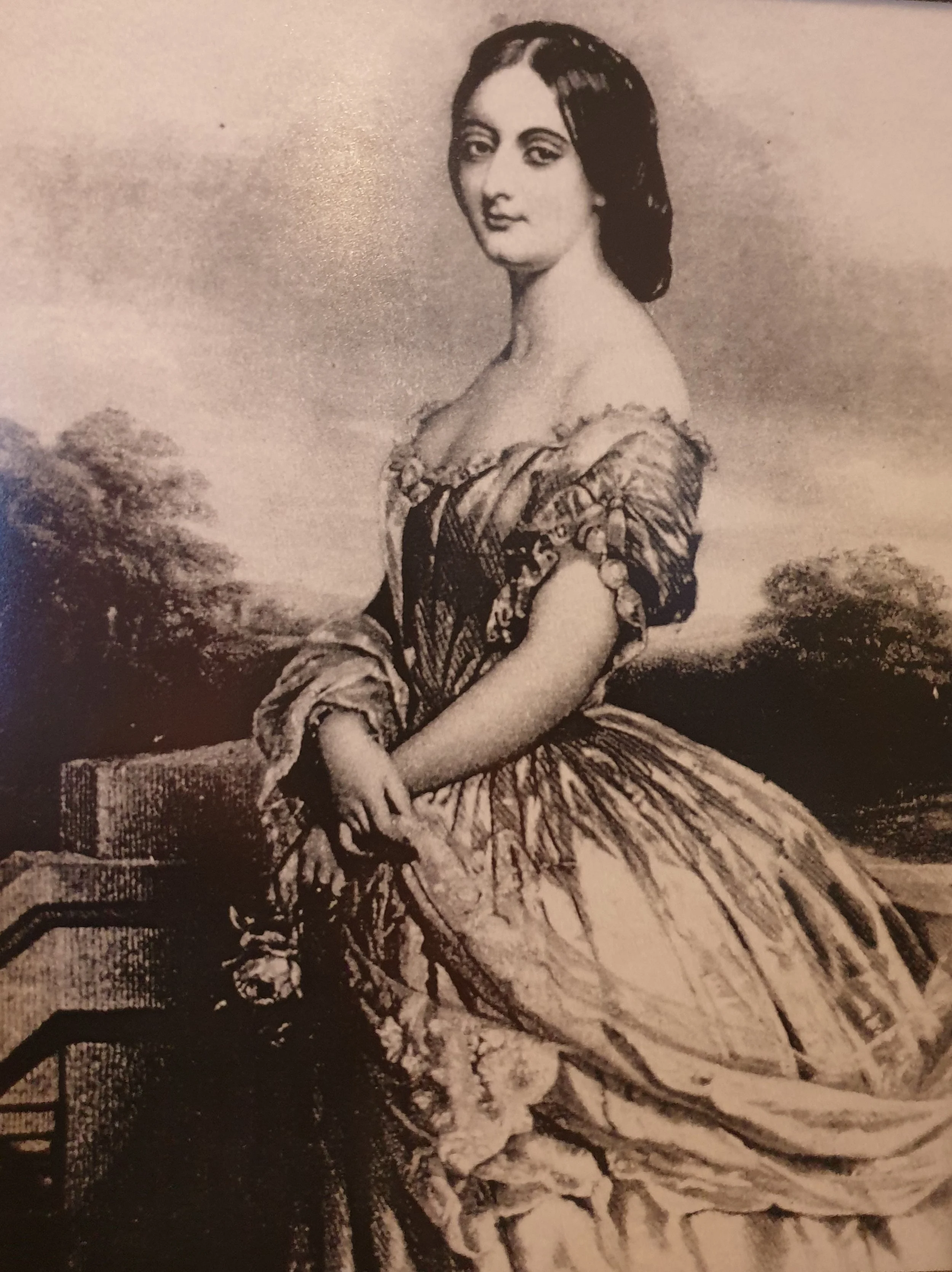
In the 1850s, population growth as well as religious and educational needs prompted Jacob Stephanus Naude to start a village. He bought Over-den-Berg farm, which had good access to water, for £3000 plus transfer duty of £120. To strengthen the association between this new village and nearby Greyton (established in 1852 and named after the then-British governor of the Cape, Sir George Grey), Naude thought it best to name it after the Governor’s wife, Lady Eliza Lucy Grey. He founded this new village of Lady Grey on 24 January 1856. His intention was to ‘bring enlightenment to a place where it is much wanting’. The village was officially proclaimed in 1862.
Lady Grey was situated at a well-used crossroad. It seemed ideally placed to become a hub that could be connected with Greyton, over the mountain, via a road following the ancient Boesmanskloof trail. It was anticipated that such a road would cost £40 000 but sadly, an initial attempt to construct it (1865 to 1880) stalled due to insufficient funds. Pressure mounted again in 1916, but a second attempt launched in 1924 also failed due to the lingering effects of World War 1.
By the 1880s Lady Grey was flourishing, with two butchers, three doctors, a barber and a blacksmith, several shops, and six teachers running a well-functioning school where pupils could complete the Junior Certificate exam.
However, its development received another setback when the route of the planned rail networks was formalised. Running parallel with the Langeberg Mountains and connecting Worcester via Swellendam to Voorbaai, this route cut off both Lady Grey and Greyton from the main transport axis. As a result they remained isolated, small villages in the mountain foothills, with no road to connect them.
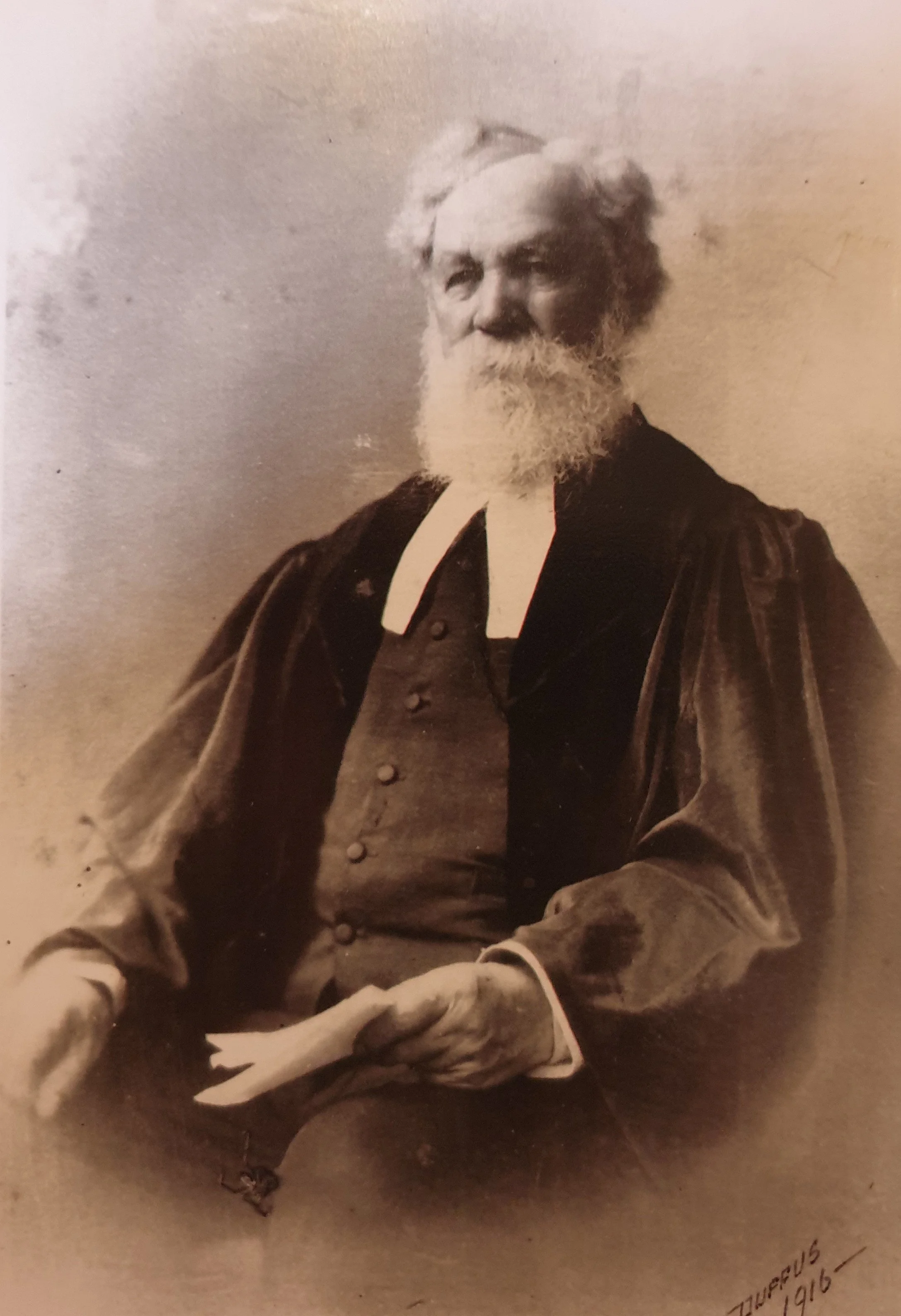
Local folklore has it that in 1903, the Postmaster-General of the Cape Colony, on the toss of a coin, decided to rename the village of Lady Grey in a bid to eliminate postal confusion with another town called Lady Grey, in the Eastern Cape Highlands. A village petition unanimously selected ‘McGregor’ as the new name, in honour of Reverend Andrew McGregor’s 40 years of service to the NG Kerk.
The village of Lady Grey was officially renamed McGregor in 1905, and the name change was gazetted on 9th April 1906. McGregor received full municipal status in 1907.